(640×480 JPG, 77241 bytes)
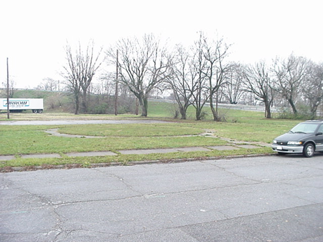
A circular sidewalk type thing at the northwest corner of Park and Woodlawn.
(640×480 JPG, 62035 bytes)
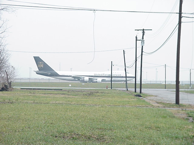
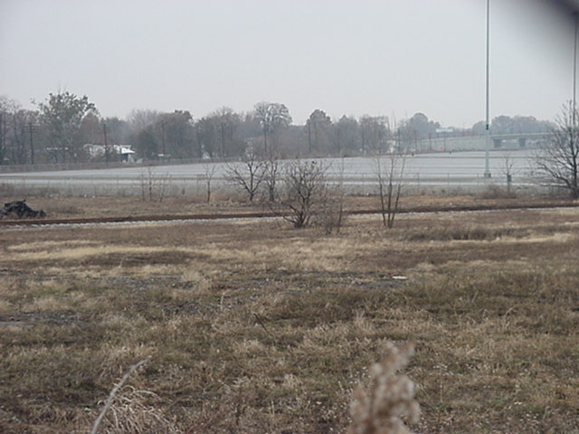
Looking east on Woodlawn towards Crittenden Drive. The UPS 747 shows how close one of the new parallel runways really is.

(640×480 JPG, 107831 bytes)
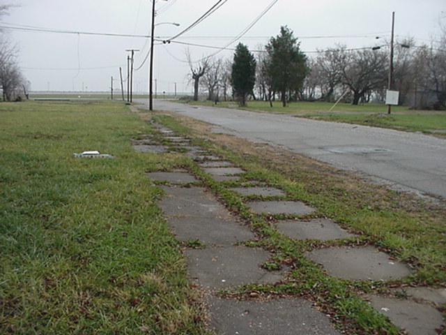
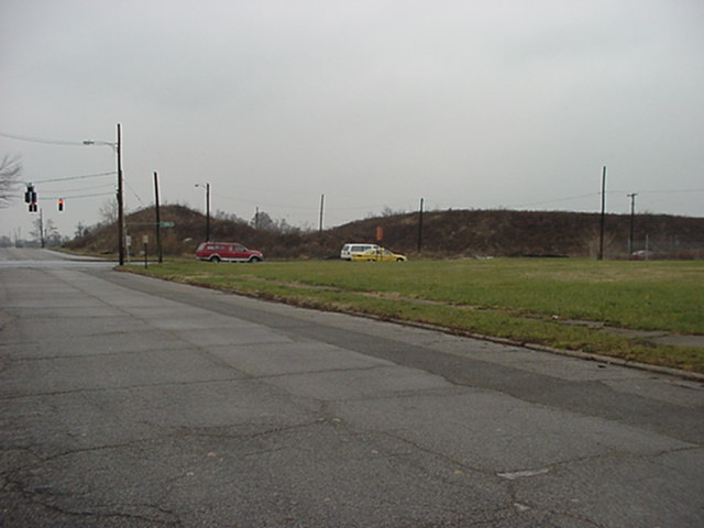
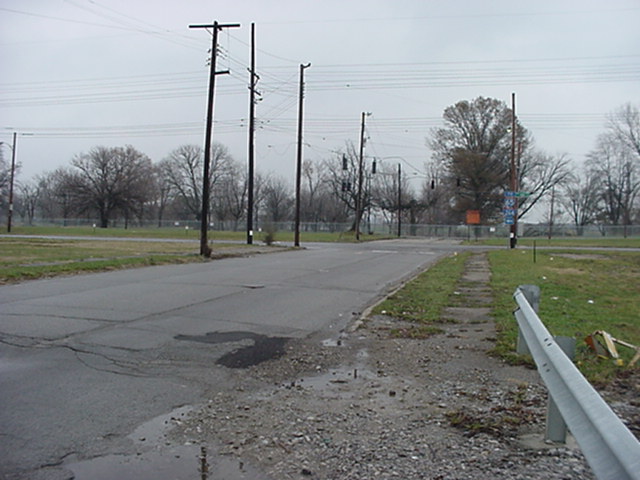
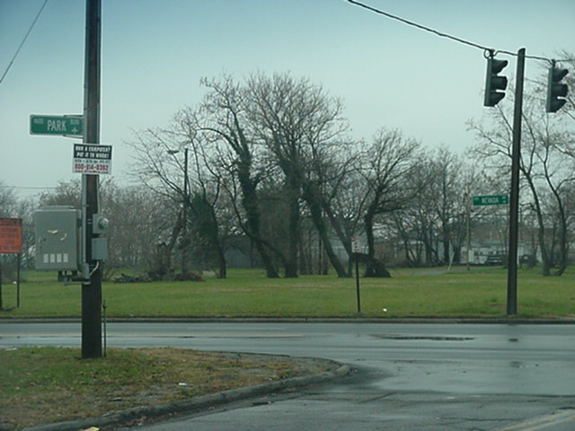
Looking north on Park Boulevard from Woodlawn, towards Nevada.
(640×480 JPG, 66211 bytes)
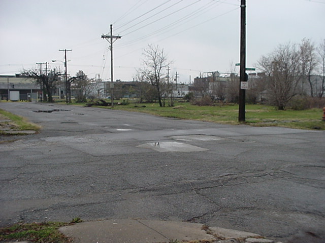
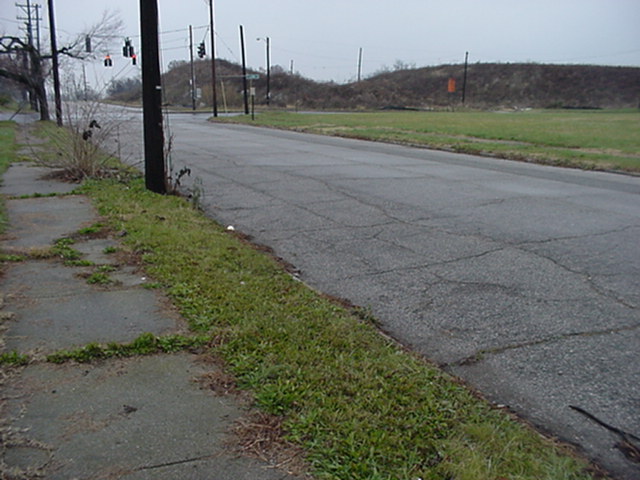
Intersection of Woodlawn and Park, looking southwest. Notice some of the industrial businesses that still remain.
(640×480 JPG, 89658 bytes)
Looking east on Woodlawn towards Crittenden, with a wide-angle shot this time.

(640×480 JPG, 95085 bytes)
Once again, looking north on Park from Woodlawn.
(640×480 JPG, 48781 bytes)
Looking northeast from Woodlawn and Park. Traffic lights at Park and Nevada on the left.
(640×480 JPG, 82337 bytes)
Another shot looking north-by-northeast from Park and Woodlawn.
(640×480 JPG, 66781 bytes)
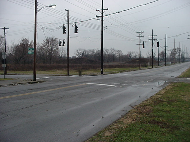
Looking north-by-northwest at the intersection of Park and Hiawatha now. Signals are flashing yellow.

(640×480 JPG, 93924 bytes)
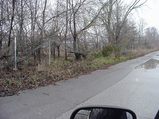
Looking west on Hiawatha from Park Boulevard. Note the barracaded remnants of Highland Park's comprehensive network of alleys. Also note how pretty much everything west of the tracks remains.
(640×480 JPG, 99616 bytes)
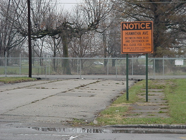
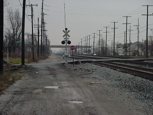
Looking east on what was Hiawatha towards Crittenden Drive. The sign still standing today (November 2000) says: ``NOTICE - Hiawatha Ave. between Park Blvd. and Crittenden Dr. Will Close Feb. 1, 1996.''

(640×480 JPG, 120046 bytes)
The empty land is technically property of the Regional Airport Authority, just incase anyone's walking around. In the background is an old building related to gas southwest of Park/Hiawatha.

(640×480 JPG, 112620 bytes)
Another shot of the abandoned building. You can also see what remains of an alley.
(640×480 JPG, 74024 bytes)
Hiawatha, looking east towards Park Boulevard.

(640×480 JPG, 82242 bytes)
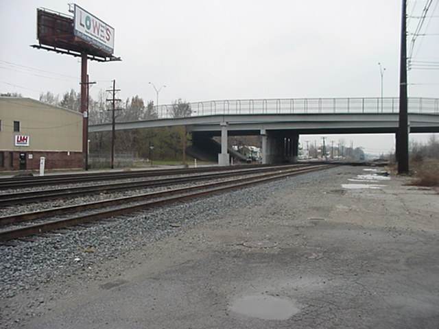
Louisville Avenue, looking north towards Ottawa and the Watterson Expressway.
(640×480 JPG, 78725 bytes)
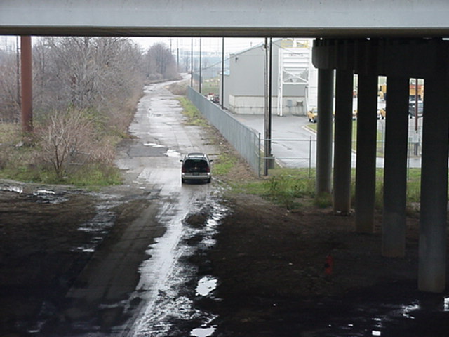
Louisville Avenue, looking south towards Ottawa and the Woodlawn Overpass.

(640×480 JPG, 95521 bytes)
Louisville Avenue, looking north. The barracaded street was either Mohawk, Wampum, or one of the alleys.

(640×480 JPG, 64714 bytes)
Louisville Avenue, looking north from the intersection with what was once Southern Heights.

(640×480 JPG, 100609 bytes)
What was once Southern Heights was the jog you had to take to continue on (eastern) Louisville Avenue.
(640×480 JPG, 70891 bytes)
Another shot looking north from Louisville and Southern Heights.
(640×480 JPG, 64133 bytes)
Louisville Avenue, looking north from just past the Watterson.

(640×480 JPG, 99846 bytes)
Looking west towards (still existing) Adair Street on the other side of the tracks.
(640×480 JPG, 82677 bytes)
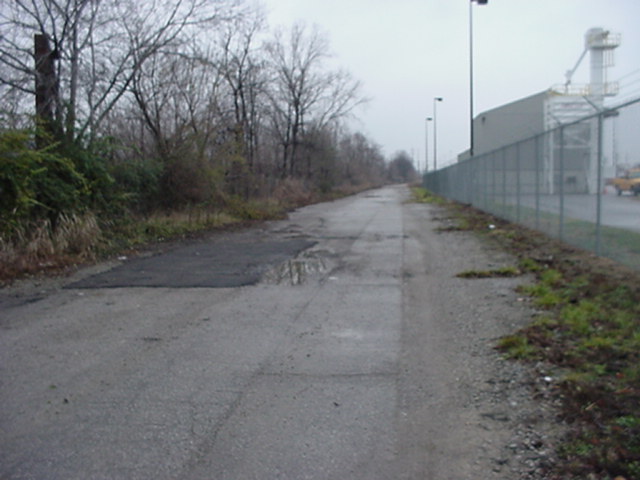
Looking east towards Park Boulevard along where I believe North Adair Street once existed.

(640×480 JPG, 86135 bytes)
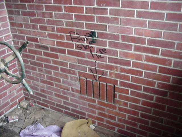
Under the Watterson, looking west at some graffiti.
(640×480 JPG, 73898 bytes)
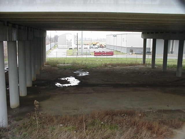
Looking southeast under the Watterson. In the background is a pedestrian walkway over the railroad tracks which was rebuilt a few years before the neighborhood got bought out.

(480×640 JPG, 49036 bytes)
Someone tried to feed some animals here.
(640×480 JPG, 93937 bytes)
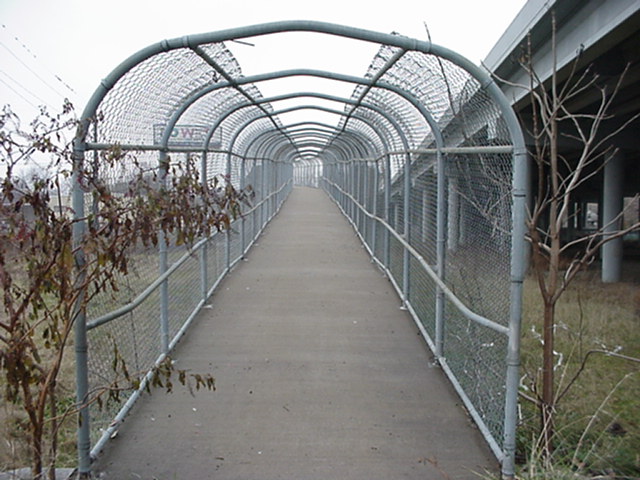
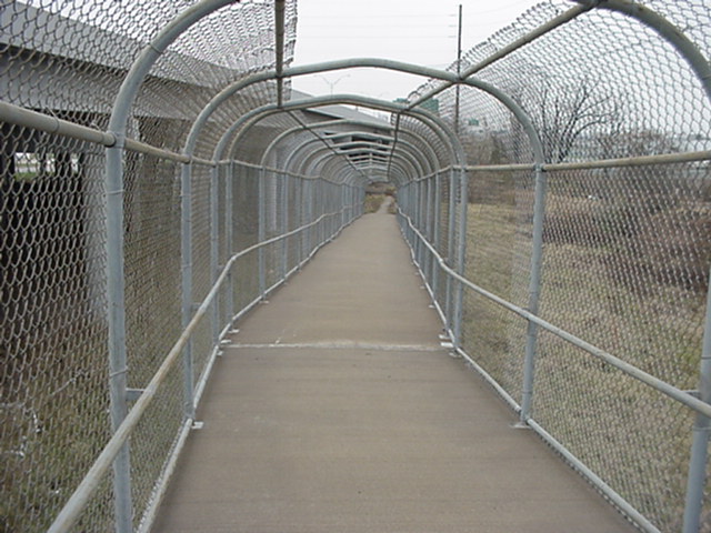
The mighty pedestrian walkway, looking west.
(640×480 JPG, 80938 bytes)
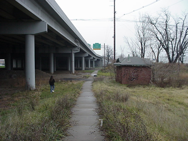
Looking east from the walkway on the sidewalk leading to Park Boulevard.
(640×480 JPG, 110833 bytes)
Another abandoned gas building.
(640×480 JPG, 59540 bytes)
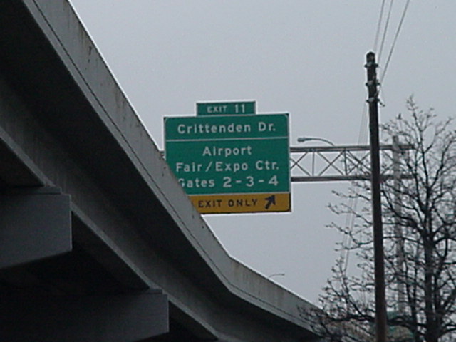
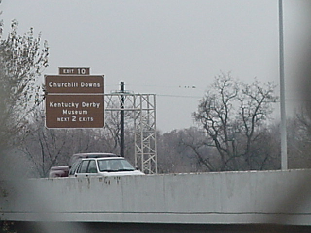
A Big Green Sign on the Watterson for Crittenden Drive, the Airport, and the Fairgrounds.
(640×480 JPG, 94600 bytes)
Looking south on what was a north-south alley west of Park Boulevard, towards Southern Heights.

(640×480 JPG, 97439 bytes)
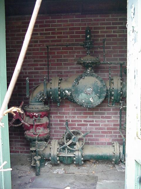
The front of the abandoned gas building.
(640×480 JPG, 91271 bytes)
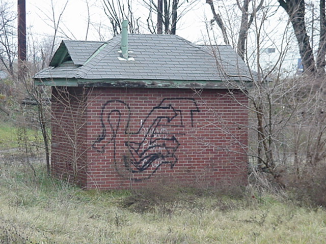
This building provided shelter for at least one homeless person.

(640×480 JPG, 82502 bytes)
Inside the abandoned gas building near Southern Heights and Park Boulevard.
(480×640 JPG, 52794 bytes)

(640×480 JPG, 78063 bytes)
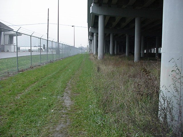
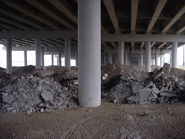
Another view under the Watterson. There was actually pretty much nothing under the Watterson in the last few years of Highland Park's life.

(640×480 JPG, 69204 bytes)
Another shot of the pedestrian overpass.
(640×480 JPG, 69409 bytes)
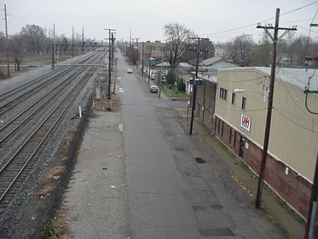
Looking from the overpass northbound on Louisville Avenue.
(640×480 JPG, 95275 bytes)
Looking from the overpass southbound on Louisville Avenue. Intersecting street is what was once Southern Heights. Louisville Avenue continues alongside the tracks.
(480×640 JPG, 33741 bytes)
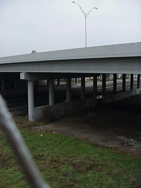
Looking northwest at the Watterson and the tracks.
(640×480 JPG, 58467 bytes)
Big Brown Sign on the westbound Watterson.
(640×480 JPG, 85687 bytes)
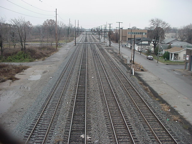
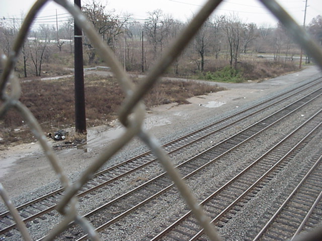
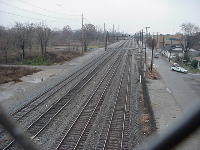
Looking south directly at the railroad tracks from the overpass.
(640×480 JPG, 76686 bytes)
Looking south on western Louisville Avenue. Pretty much everything west (to the right) of the tracks remains intact.
(640×480 JPG, 98760 bytes)
Looking southeast at Louisville Avenue's jog on Southern Heights.
(640×480 JPG, 81505 bytes)
Another shot looking south at the tracks.
(640×480 JPG, 104446 bytes)
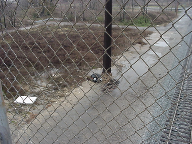
Despite the airplane noise, Highland Park is probably quiet enough for someone to sleep here.
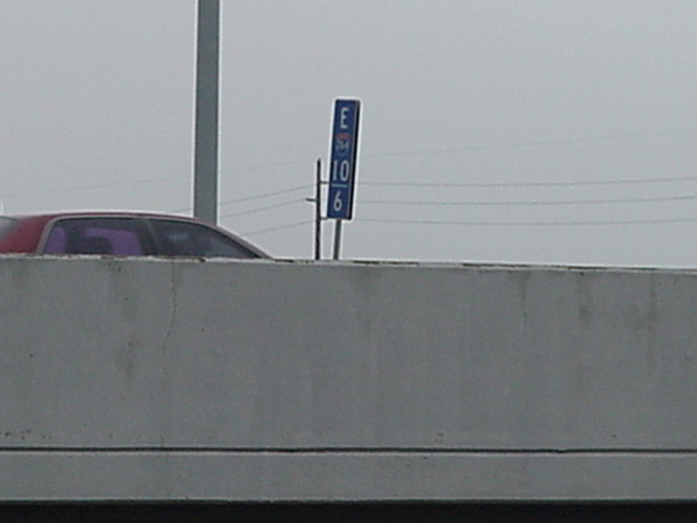
(640×480 JPG, 38157 bytes)
One of the 2/10-mile markers on the Watterson.
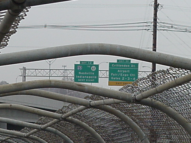
(640×480 JPG, 80029 bytes)
Another shot of the Big Green Signs for Exits 11 and 12.
(640×480 JPG, 94522 bytes)
On the overpass coming down looking eastbound towards Park Boulevard.
(640×480 JPG, 65201 bytes)
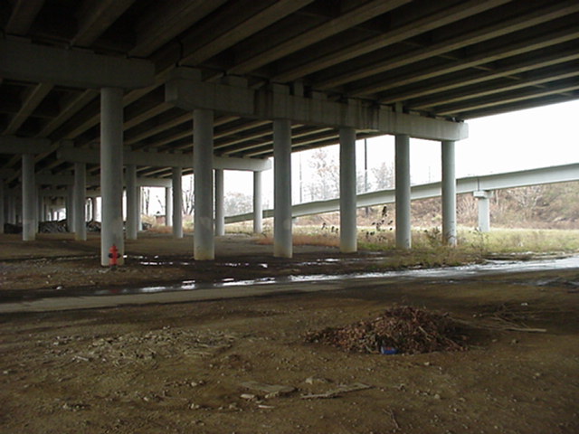
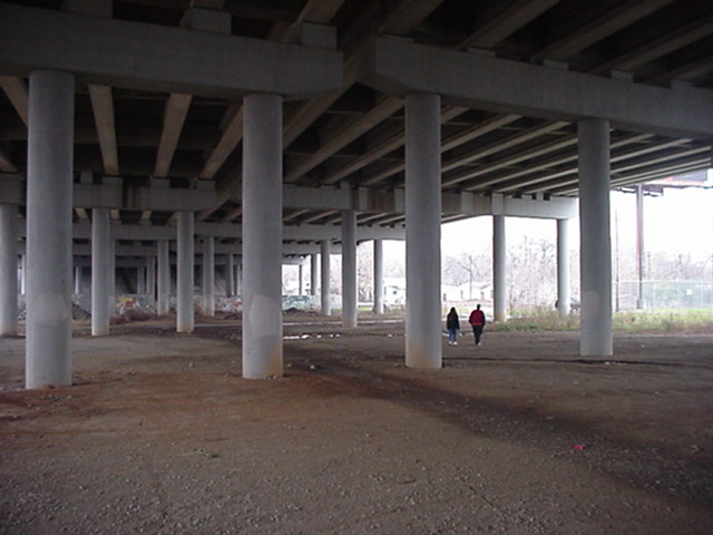
Another shot under the Watterson.
(640×480 JPG, 80294 bytes)
(640×480 JPG, 63607 bytes)

(640×480 JPG, 65125 bytes)
(640×480 JPG, 108571 bytes)
Some kids tore this fence between Louisville Avenue and the railroad tracks down about ten or so years ago. It's still torn down.
(640×480 JPG, 52936 bytes)
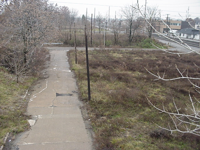
I believe we're looking east on what was Seneca or an alley, now a field of grass.
(640×480 JPG, 86708 bytes)
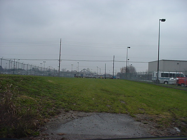
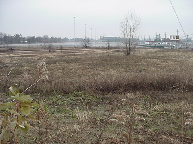
In this and the next few photos we are looking at where all the tracks leading to the L&N South Louisville Shops were once located. Now it's a parking lot of some sort. The Papa John's Cardinal Stadium, built over where the Shops once stood, is in the background of most of these. These shots were taken from Dakota Avenue between Louisville and Park.

(640×480 JPG, 85338 bytes)
(640×480 JPG, 79021 bytes)
(640×480 JPG, 73273 bytes)
(640×480 JPG, 114563 bytes)
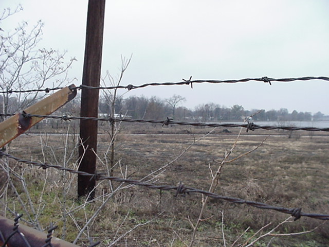
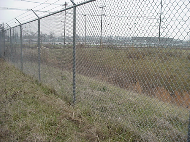
Some fenced-in property south of Dakota between Park and Louisville.
(640×480 JPG, 52437 bytes)
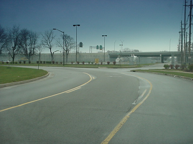
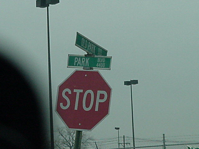
Looking south at the realigned intersection at what was Park Boulevard and Ottawa Avenue. Park Boulevard, north and east of this intersection, is the street that makes a gradual 90-degree curve. The sign indicates that ``Old Park Boulevard'' continues south. However, as we shall see in a moment, the signs on ``Old Park Boulevard'' south of the Watterson simply say Park Boulevard!
(640×480 JPG, 52429 bytes)
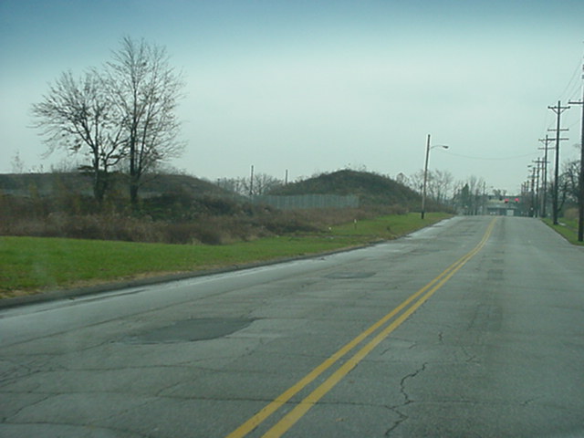
Park Boulevard just south of Hiawatha, looking towards Nevada.

(640×480 JPG, 64617 bytes)
The intersection of Park Boulevard and Nevada Avenue was also realigned with a separate turning lane from westbound to northbound. This picture was taken from inside the car through the windshield, hence the glare from the reflection off a trusty well-used copy of the Graphic Street Guide of Louisville.
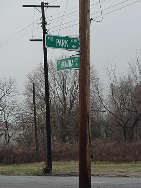
(640×480 JPG, 72541 bytes)
Looking closer to confirm the signs for Park and Nevada, installed no more than a few years ago when this particular style of sign with the fleur-de-lis started showing up in Louisville.
(480×640 JPG, 51062 bytes)
Signs for Park and Hiawatha, also installed no more than a few years ago.
(640×480 JPG, 41001 bytes)
The intersection of ``Old Park Boulevard'' and Park Boulevard (formerly Park and Wawa).
(640×480 JPG, 58830 bytes)
I believe this is looking west on where Wawa Avenue once was.